
Community Risk Assessment


The purpose of the Community Risk Assessment (CRA) project is to assist the East Gwillimbury Fire and Emergency Services (EGFES) team in assessing current risks within each community to make informed decisions about the level and type of fire protection services.
The CRA project uses data to track and report the top three causes of fire within each of the eight communities in East Gwillimbury (EG). Knowing these risks will help residents better protect their families and homes and help EGFES provide programs and public education activities to prevent further risks within EG.
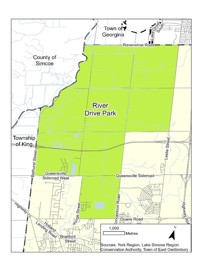
Use the interactive map below to find your community and access more information about risks in your neighbourhood.
To learn more about the top risks in your community, select from the dropdowns below.
| River Drive Park |
|
|
| Brown Hill, Ravenshoe, North Union |
|
Top Three Causes of Fires |
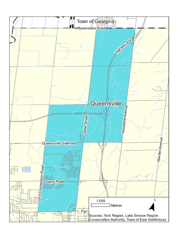
| Queensville |
|
Top Three Causes of Fires |
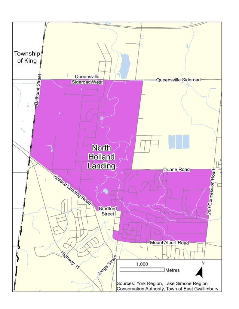
| North Holland Landing |
|
Top Three Causes of Fires |
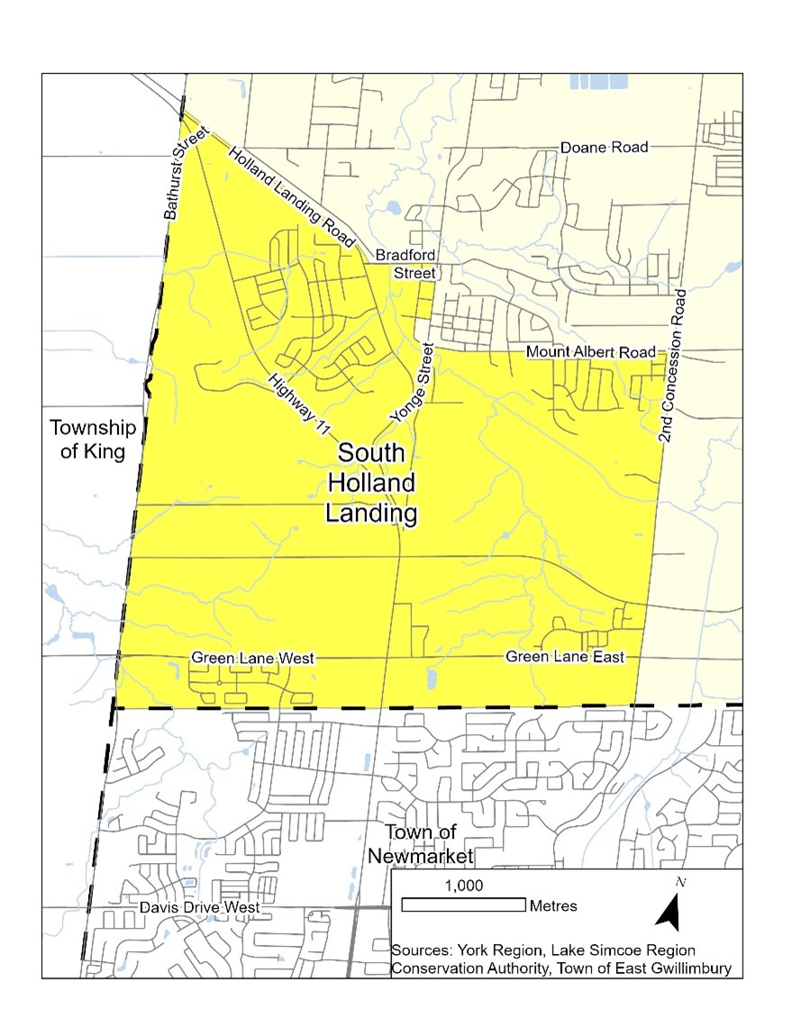
| South Holland Landing |
|
Top Three Causes of Fires |
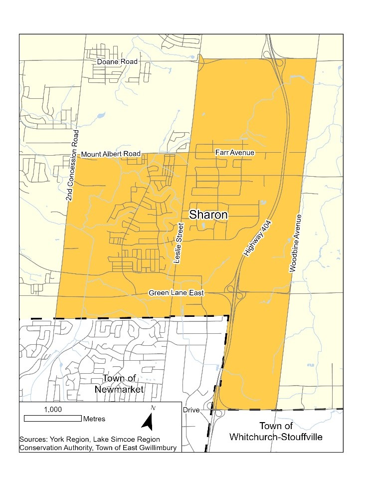
| Sharon |
|
Top Three Causes of Fires |
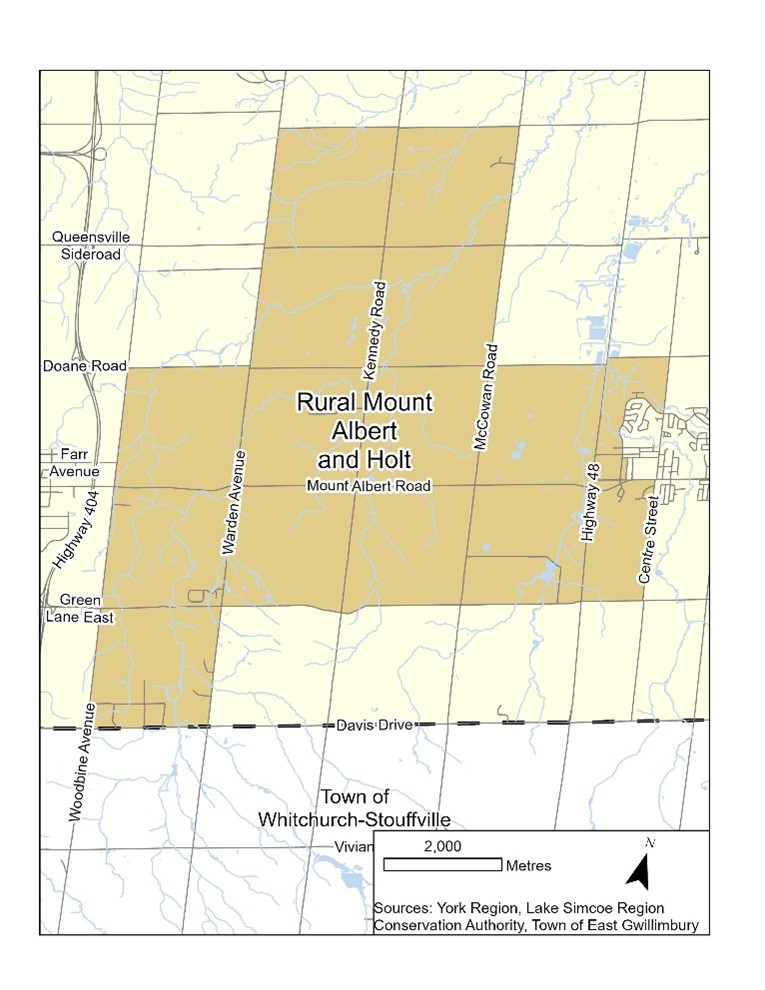
| Rural Mount Albert and Holt |
|
Top Three Causes of Fires |
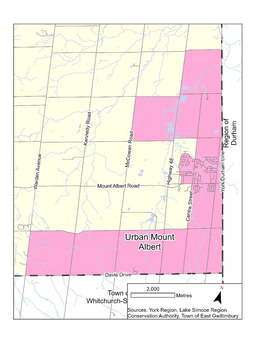
| Urban Mount Albert |
|
Top Three Causes of Fires |
 Top Three Causes of Fires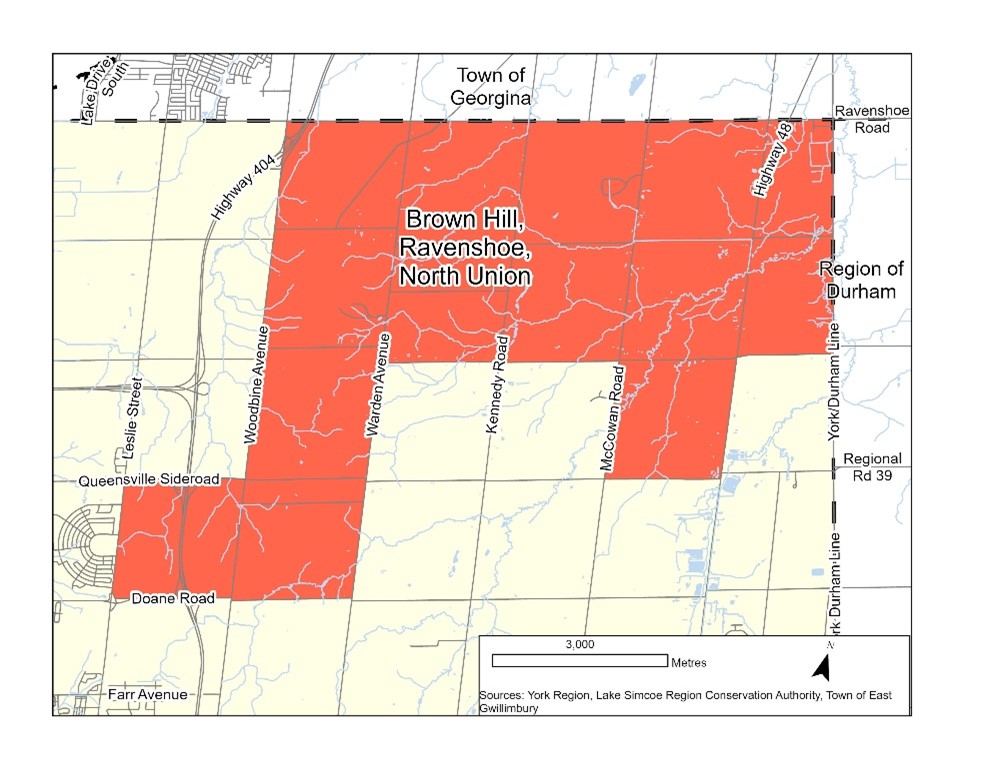
Fire safety starts with you.
Contact Us
Our Customer Service Team is here to help!


